|
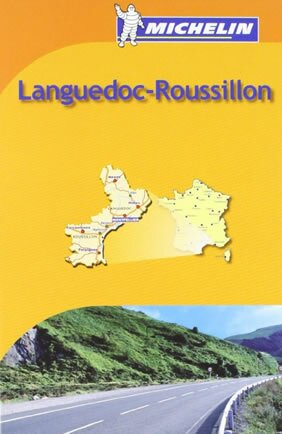
Languedoc-Roussillon
Michelin Regional Maps, 2008
Michelin regional maps each contain practical road and route information. Special Michelin reads-like-a-book format for easy use in folding and unfolding. Useful information for planning trips, including gas stations, 24-hour service stations, toll gates, rest areas and service plazas. Clear, precise cartography. Icons pinpoint important travel information.
|
|
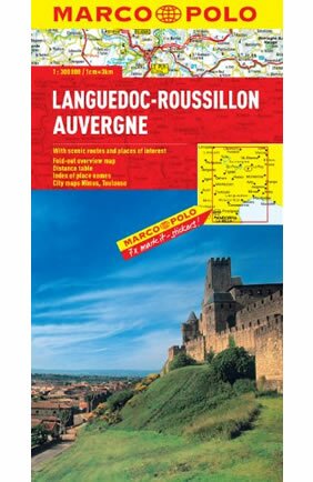
Languedoc-Roussillon, Auvergne Marco Polo Map
Folded Map, 2012
Marco Polo maps feature completely up-to-date, digitally generated mapping. The high quality cartography with distance indicators and scale converters aid route planning. The extensive coverage of the maps enables travellers to cross country boundaries with the same map. A fold-out overview map is ideal for route planning and 7 self-adhesive Marco Polo mark-it stickers can be used to pin-point a destination or route for future reference. Scenic routes and places of interest are highlighted - ideal for touring holidays. The maps also contain a comprehensive index and inset street plans of major cities.Map Scale - 1: 300 000
|
|
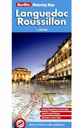
Languedoc - Roussillon Berlitz Motoring Map
Folded map, 2007
These Motoring Maps give first time drivers and seasoned motorists alike the added confidence to drive in France. They are fully indexed with clear, detailed mapping and include distance indicators. Quick-reference, look-up panels include essential travel information from driving regulations and emergency telephone numbers to key French phrases. Inset maps of major towns have dedicated index panels for ease of use and an extensive legend identifies places of special interest, service stations, hotels restaurants etc in 5 different languages.
|
|
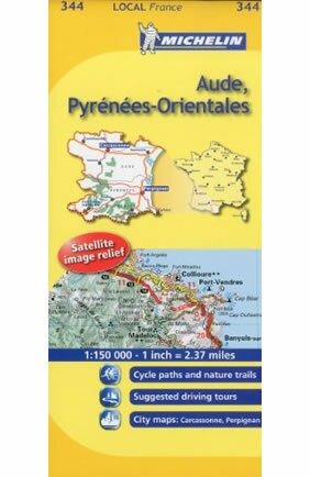
Aude, Pyrenees-Orientales
Folded map. English.
Map of the Aude and Pyrénées-Orientales, including the Corbières region, Perpignan and Collioure.
|
|
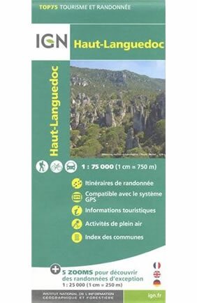
Haut-Languedoc Map
Folded Map. French.
A French map that would come in very handy if you are visiting or walking in the Haut Languedoc region of Languedoc - from the Montagnes Noir to the Cévennes.
|
|
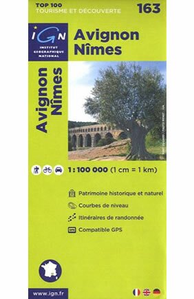
Avignon / Nîmes ign: Top 100 Tourisme et Découverte
Foldable map. French. 2011.
Map of the area between Avignon and Nîmes - covering the Pont du Gard and Uzès and the Rhône.
|
|
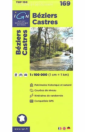
Béziers / Castres ign: Top 100 Tourisme et Découverte
Foldable map. French.
Map of the are between Béziers and Castres - covering the Orb Valley and the Montagnes Noir and some of the Canal du Midi.
|
|
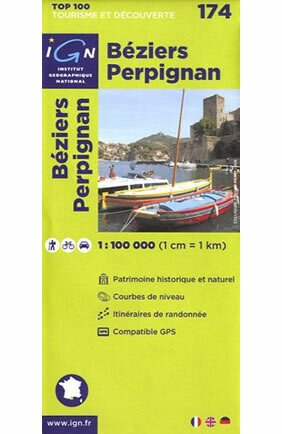
Béziers / Perpignan ign: Top 100 Tourisme et Découverte
Foldable map. French.
Map of the area between Béziers and Perpignan - covering the coast and Narbonne.
|
|
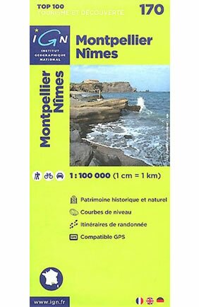
Montpellier / Nîmes ign: Top 100 Tourisme et Découverte
Foldable map. French. 2012.
Map of the area between Nîmes and Montpellier, covering La Grande Motte, Le Grau du Roi, Sommières and Lunel.
|
|
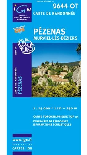
Pézenas / Murviel-lès-Béziers gps ign
Foldable map. French.
Map of the Pézenas to Murviel area - just north and west of Béziers, and home to the St Chinian and Faugères wine regions.
|
|
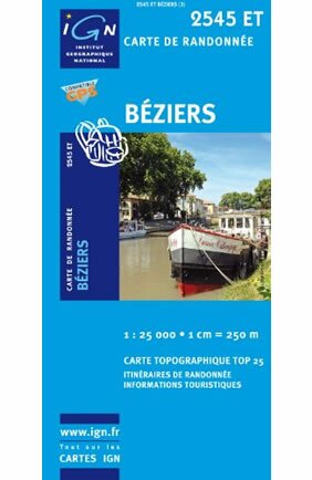
Béziers gps
Foldable map. French.
Map of the city of Béziers and its surroundings.
|
|
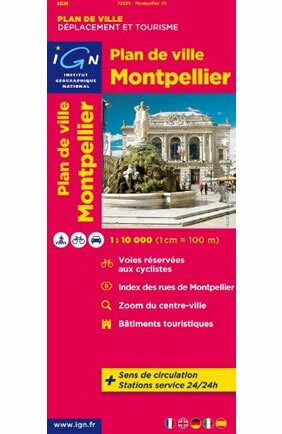
Montpellier ign
Foldable map. French. 2011.
Map of the city of Montpellier and the surrounding area.
|
|
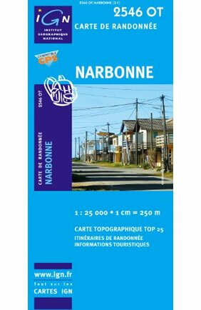
Narbonne gps
Foldable map. French.
Map of the city of Narbonne and its surroundings. 1:25,000 scale.
|
|
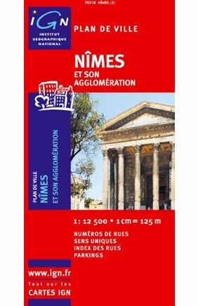
Nimes
Foldable map. French. 2009.
Map of the city of Nîmes and the surrounding area.
|
|
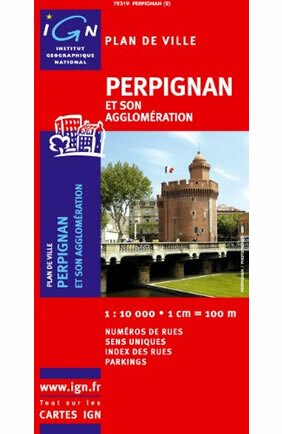
Perpignan
Foldable map. French. 2007.
Map of the city of Perpignan and the surrounding area.
|


 Listed below are the best available maps covering the Languedoc-Roussillon region as well as further afield in the south of France. Even with the best GPS system in your car, they're a great way of planning a trip or quickly seeing where you are and where you have to get to. They might just even help you avoid and argument!